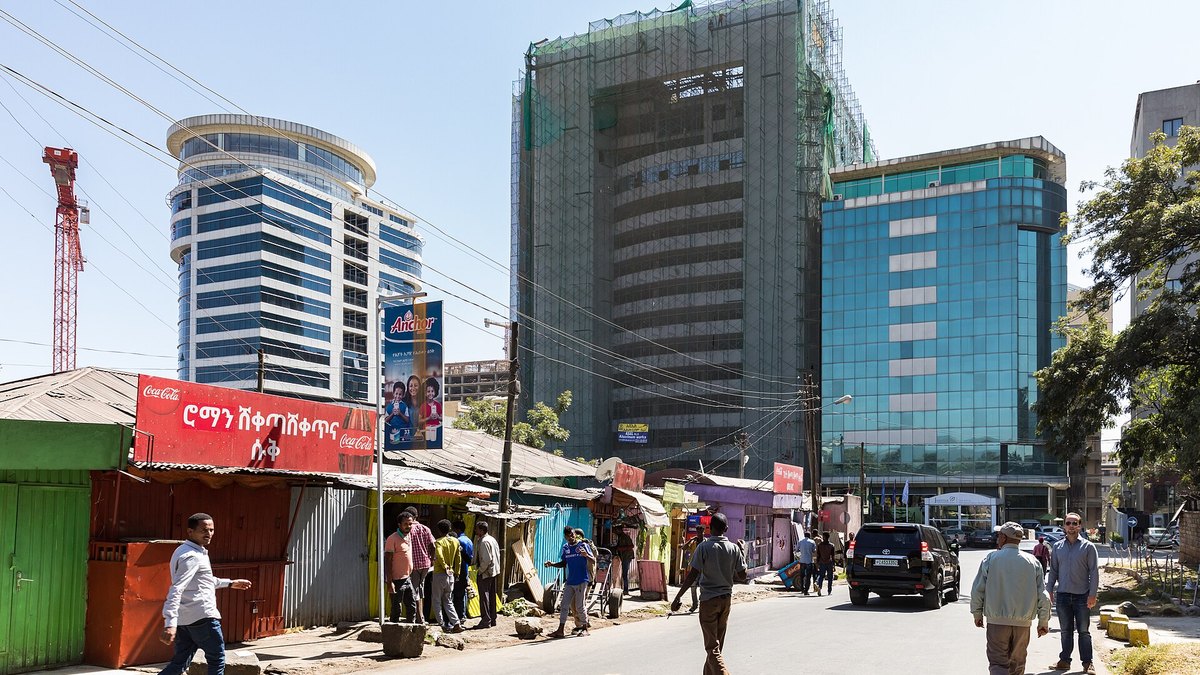
A NASA-funded sensor network deployed across Addis Ababa recorded fine particulate pollution levels exceeding three times the health standard set by the U.S. Environmental Protection Agency, according to research published in ES&T: Air. The study evaluated continuous data collected between 2022 and 2025 across 10 monitoring sites set up by NASA’s Multi-Angle Imager for Aerosols project.
The sensors measured fine particulate matter known as PM2.5, which is 2.5 micrometers or smaller in diameter. Over three years, average PM2.5 concentrations in Addis Ababa reached 30 micrograms per cubic meter. Black carbon, a component of PM2.5 produced by fires, diesel vehicles, and other combustion sources, registered at levels four to nine times higher than those measured in three U.S. metropolitan areas monitored by the project: Los Angeles, Atlanta, and Boston.
Ethiopia introduced measures to curb emissions in 2024 when it banned imports of internal combustion engine vehicles, alongside expanding bike lanes and electric vehicle infrastructure. The sensor network recorded elevated black carbon emissions during rush-hour traffic, nighttime burning of charcoal and other fuels, and two major holiday celebrations involving bonfires. Researchers confirmed the instruments could distinguish between particles from open fires and those generated by fossil fuels.
NASA designed the Multi-Angle Imager for Aerosols mission to combine ground sensors across a dozen global metropolitan areas with an orbital observatory. The Jet Propulsion Laboratory built a gimbal-mounted camera capable of gathering data from multiple angles to identify aerosol types by light reflection. The Italian Space Agency will launch the instrument on a satellite no earlier than late 2027, allowing public health researchers on the mission team to pair aerosol concentration maps with human health records.