NASA's Curiosity rover has resumed its climb up Mount Sharp following a brief detour to examine an erosional surface in Gale Crater, according to a mission update published by NASA. The rover is transitioning into the Martian fall season, during which regional temperatures and the likelihood of dust storms typically drop.
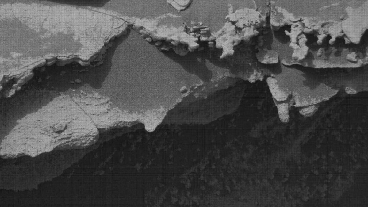
During operations across Sols 4982 to 4985, the rover examined a geologic feature situated just above an erosional supersurface contact. The Mars Hand Lens Imager (MAHLI) acquired replacement imagery for a mosaic of the target "Tres Morros" to inspect the underside of the rock feature. The Alpha Particle X-ray Spectrometer (APXS) gathered compositional measurements on the bedrock target "El Motacusal" after it was brushed by the Dust Removal Tool (DRT), as well as on an undisturbed bedrock target named "Alto de Carmen." Both targets received supporting high-resolution imaging from MAHLI.
ChemCam conducted laser-induced breakdown spectroscopy on bedrock targets "Lagunas Bravas" and "Parququcha," and captured Remote Micro-Imaging of "Mishe Mokwa." Mastcam collected color documentation of ChemCam targets alongside mosaics of the "Los Toldos" erosional ridge and the "Los Ladrillos" bedrock exposure.
Curiosity subsequently drove 100 feet (30 meters) to its position for Sols 4985 to 4987. Mission operators could not place the robotic arm in a safe configuration to brush the local bedrock because the rover's left-front wheel was perched on a small rock, introducing a slip hazard. Despite the arm limitation, MAHLI and APXS performed contact science on two bedrock targets, "Mamorecillo" and "Aguas Claras," while MAHLI also imaged its calibration target.
ChemCam targeted three geochemical features in the area, including a dark-toned resistant bedrock layer designated "Yura Kasa," followed by Mastcam stratigraphic imaging above the erosional contact. The science team also assigned atmospheric monitoring duties across several instruments: Mastcam measured atmospheric optical depth, APXS planned an overnight atmospheric measurement, and Navcam executed dust-devil surveys, zenith observations, in-crater line-of-sight measurements, and cloud movies. Curiosity's itinerary calls for an additional 150-foot (47-meter) drive to the southwest to continue ascending Mount Sharp.